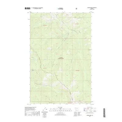
2020 Map of Connor Creek
USGS Topo · Published 2020About this map
Flathead National Forest encompasses this high-elevation landscape, where the Swan Range forms a significant topographic backbone. The terrain is defined by a series of glacial lakes, including Bond Lake, Rock Lake, and the remote Crevice Lake situated near the southern boundary. These water bodies are connected by a network of drainage systems such as Sullivan Cr and Conner Creek. The map documents a rugged interior accessible primarily through forest development roads and primitive trails. Significant routes like the Alpine 7 trail and the Wire Trail navigate the steep gradients between peaks such as Kah Mtn and Spring Slide Mtn. The boundary between Flathead and Lake Counties runs through the western portion of the sheet, marking a jurisdictional divide across this unpopulated wilderness area.
Find a feature on this map
76 named features on this map. Tap any name to fly to it.
Don’t see what you’re looking for? This feature index may not catch every label — zoom into the map to look around manually.
Map Details
Editions of this 2020 Connor Creek Map
This is the sole edition of this map. No revisions or reprints were ever made.
Other maps of this area

1914 · Nyack
USGS Topo · 1:125,000

1955 · Choteau
USGS Topo · 1:250,000

1957 · Choteau
USGS Topo · 1:250,000

1958 · Choteau
USGS Topo · 1:250,000

1958 · Circus Peak
USGS Topo · 1:24,000

1958 · Quintonkon
USGS Topo · 1:24,000

1960 · Cut Bank
USGS Topo · 1:250,000

1962 · Choteau
USGS Topo · 1:250,000

1963 · Cut Bank
USGS Topo · 1:250,000

1964 · Cut Bank
USGS Topo · 1:250,000