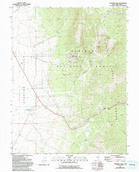
1981 Map of Connors Pass
USGS Topo · Published 1994About this map
The settlement of Taylor sits on the western slopes of the Schell Creek Range, serving as a focal point for historic mining activity within the Humboldt National Forest. This 1981 survey, updated through the early 1990s, documents an intensive mining landscape defined by the Monitor Mine, Argus Mine, and the Taylor Shaft. The industrial footprint extends to the Reynolds Tunnel and Bishop Pit, indicating a complex network of subsurface and surface extraction. West of these peaks, the terrain flattens into the Steptoe Valley, where a lone Cem stands as a quiet marker of the local community's history. Transportation through the high country is anchored by Connors Pass, featuring a Connors Pass Rest Area and a Water Tank Connors Pass Well, essential infrastructure for travelers crossing the Great Basin's basin-and-range topography.
Find a feature on this map
33 named features on this map. Tap any name to fly to it.
Don’t see what you’re looking for? This feature index may not catch every label — zoom into the map to look around manually.
Map Details
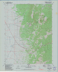
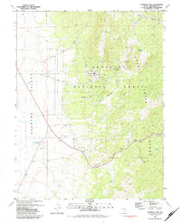
Editions of this 1981 Connors Pass Map
3 editions found
Other maps of this area

1952 · Ely
USGS Topo · 1:125,000

1956 · Lund
USGS Topo · 1:250,000

1956 · Ely
USGS Topo · 1:250,000

1958 · Comins Lake
USGS Topo · 1:24,000

1958 · Ely
USGS Topo · 1:62,500

1959 · Ely
USGS Topo · 1:250,000

1959 · Connors Pass
USGS Topo · 1:62,500

1960 · Lund
USGS Topo · 1:250,000

1963 · Ely
USGS Topo · 1:250,000
1973 · White Rock Creek
USGS Topo · 1:24,000