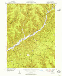
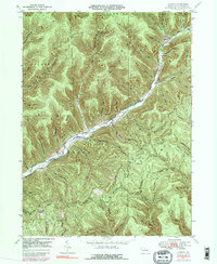
1947 Map of Conrad
USGS Topo · Published 1956About this map
Sinnemahoning Creek East Fork carves through the deep valleys of Potter County, serving as the primary drainage for a landscape defined by sharp ridges and narrow hollows. At the time of this 1945 aerial survey, the small settlements of Conrad and Logue remained established along the valley floor, connected by the East Fork Road. The map reveals a post-war landscape where resource extraction and transportation were well-integrated into the terrain, evidenced by a prominent Pipe Line cutting across the ridges and various gas wells dotting the hillsides in locations like Gas Well Hollow.
Find a feature on this map
63 named features on this map. Tap any name to fly to it.
Don’t see what you’re looking for? This feature index may not catch every label — zoom into the map to look around manually.
Map Details
Editions of this 1947 Conrad Map
5 editions found
Other maps of this area
1945 · Driftwood
USGS Topo · 1:48,000
1945 · First Fork
USGS Topo · 1:24,000
1946 · Renovo West
USGS Topo · 1:62,500
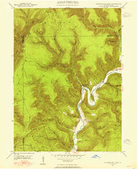
1946 · Hammersley Fork
USGS Topo · 1:24,000
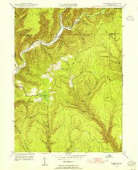
1946 · Tamarack
USGS Topo · 1:24,000
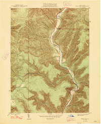
1947 · First Fork
USGS Topo · 1:24,000
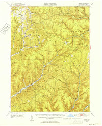
1947 · Conrad
USGS Topo · 1:62,500
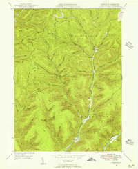
1947 · Short Run
USGS Topo · 1:24,000
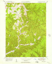
1947 · Ayers Hill
USGS Topo · 1:24,000
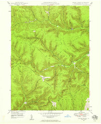
1947 · Cherry Springs
USGS Topo · 1:24,000
Featured Places
- Wharton Township, PA
- Summit Township, PA
- Sylvania Township, PA
- Hammersley, Wharton Township
- Logue, Wharton Township