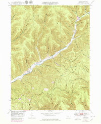
1947 Map of Conrad
USGS Topo · Published 1979About this map
Sinnemahoning Creek East Fork carves a deep valley through the northern Pennsylvania highlands, dictating the settlement patterns of this isolated Potter County terrain. Small communities like Conrad and Logue cling to the narrow banks of Sinnemahoning Creek, while the surrounding plateaus are dominated by ridges and hollows named for early families and local topography, such as Bunnell Ridge and Foster Hollow. The 1945 aerial photography, updated in 1971, reveals a landscape defined by extractive activity and utility corridors, notably the prominent Pipeline cutting across the southern hills near Five Points. Local history is anchored by rural burial grounds like McFall Cem and Brooks Cem, while an extensive network of fire roads and paths, including Wild Boy Road and the Hammersley Trail, provide access to the densely wooded summits and remote stream branches like Trout Run.
Find a feature on this map
58 named features on this map. Tap any name to fly to it.
Don’t see what you’re looking for? This feature index may not catch every label — zoom into the map to look around manually.
Map Details
Editions of this 1947 Conrad Map
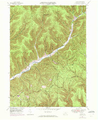
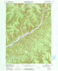
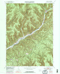
5 editions found
Other maps of this area

1945 · Driftwood
USGS Topo · 1:48,000

1945 · First Fork
USGS Topo · 1:24,000

1946 · Renovo West
USGS Topo · 1:62,500

1946 · Hammersley Fork
USGS Topo · 1:24,000

1946 · Tamarack
USGS Topo · 1:24,000

1947 · First Fork
USGS Topo · 1:24,000

1947 · Conrad
USGS Topo · 1:62,500

1947 · Conrad
USGS Topo · 1:24,000

1947 · Short Run
USGS Topo · 1:24,000

1947 · Ayers Hill
USGS Topo · 1:24,000
Featured Places
- Wharton Township, PA
- Summit Township, PA
- Sylvania Township, PA
- Hammersley, Wharton Township
- Logue, Wharton Township