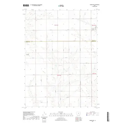
2018 Map of Conrad West
USGS Topo · Published 2018About this map
Conrad stands at the northeastern edge of this Iowa landscape, where the survey captures the transition between the fertile fields of Grundy and Marshall counties. The terrain is defined by a dense network of watercourses, including Wolf Cr and Asher Cr, which carve through the agricultural grid. To the west, the village of Liscomb serves as a local hub near the winding path of Chicken Cr. This 2018 record provides a clear view of rural land divisions and the placement of community landmarks like Conrad Cem and Prairieville Cem, reflecting the enduring settlement patterns of the region. The map’s precise detail shows how local roads such as Marble Rd and Co Rd D67 integrate with the natural drainage basins of Little Asher Cr and Dowd Cr.
Find a feature on this map
27 named features on this map. Tap any name to fly to it.
Don’t see what you’re looking for? This feature index may not catch every label — zoom into the map to look around manually.
Map Details
Editions of this 2018 Conrad West Map
This is the sole edition of this map. No revisions or reprints were ever made.
Other maps of this area

1954 · Waterloo
USGS Topo · 1:250,000

1955 · Waterloo
USGS Topo · 1:250,000

1960 · Marshalltown
USGS Topo · 1:24,000

1960 · Marshalltown
USGS Topo · 1:62,500

1960 · Le Grand
USGS Topo · 1:24,000

1960 · Conrad West
USGS Topo · 1:24,000

1960 · Conrad East
USGS Topo · 1:24,000

1975 · Union
USGS Topo · 1:24,000
1975 · La Moille
USGS Topo · 1:24,000

1979 · Grundy Center
USGS Topo · 1:24,000