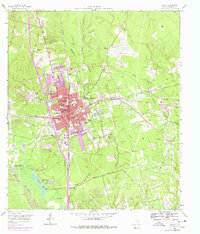
1958 Map of Conroe
USGS Topo · Published 1978About this map
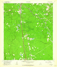
Conroe serves as a major Texas rail and industrial hub in this mid-century survey, defined by its position at the intersection of the Missouri Pacific and Atchison Topeka and Santa Fe railroads. The town's educational and social landscape is well-documented, featuring institutions like the Conroe Normal and Industrial College and several local campuses including Booker T Washington Sch and David Crockett High Sch. To the southeast, the expansive Conroe Townsite Oil Field dominates the terrain with a dense network of derricks and service roads.
Find a feature on this map
61 named features on this map. Tap any name to fly to it.
Don’t see what you’re looking for? This feature index may not catch every label — zoom into the map to look around manually.
Map Details
Editions of this 1958 Conroe Map
5 editions found
Other maps of this area

1954 · Beaumont
USGS Topo · 1:250,000

1957 · Beaumont
USGS Topo · 1:250,000

1958 · Conroe
USGS Topo · 1:24,000

1958 · Cowl Spur
USGS Topo · 1:24,000

1958 · Lake Paula
USGS Topo · 1:24,000

1959 · Outlaw Pond
USGS Topo · 1:24,000

1959 · Cut and Shoot
USGS Topo · 1:24,000

1959 · Conroe NE
USGS Topo · 1:24,000

1960 · Willis
USGS Topo · 1:24,000
1961 · Tamina
USGS Topo · 1:24,000