Loading...
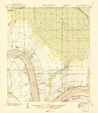
Loading map...1962 Map of Convent
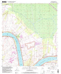
USGS Topo · Published 1981About this map
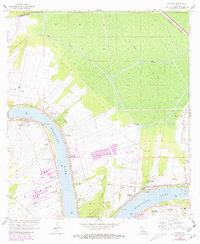
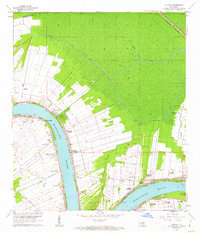
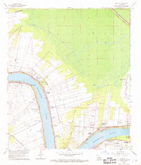
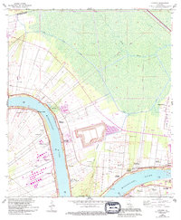
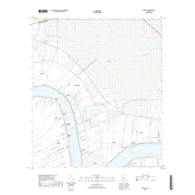
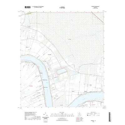
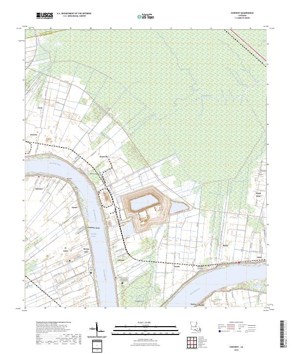
The Mississippi River defines the landscape of this St. James Parish survey, where the narrow-lot land patterns of the French long-lot system are clearly visible stretching back from the riverbanks. The map documents a significant concentration of sugar country heritage, including the iconic Oak Alley Plantation, Uncle Sam Plantation, and St Joseph Plantation. These estates, along with others like Welham Plantation and Malarcher Plantation, illustrate the agricultural layout of the region before 20th-century industrial shifts.
Find a feature on this map
43 named features on this map. Tap any name to fly to it.
Don’t see what you’re looking for? This feature index may not catch every label — zoom into the map to look around manually.
Map Details
Date Portrayed1962
Date Published1981
PublisherU.S. Geological Survey
Map TypeTopographic
Scale1:24,000
Physical Dimensions22 x 26.8 inches
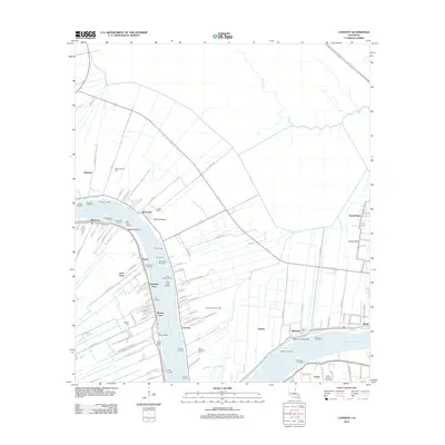
Editions of this 1962 Convent Map
5 editions found

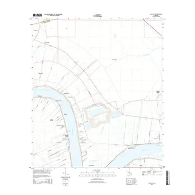
Historical Maps of Convent Through Time
8 maps found
Featured Locations
Source Details
SourceU.S. Geological Survey
CopyrightPublic Domain