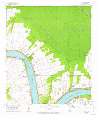
1962 Map of Convent
USGS Topo · Published 1963About this map
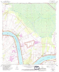
The Mississippi River defines the landscape of this St. James Parish survey, where the river's winding path dictates the layout of the historic long-lot plantation system. Large agricultural holdings like Oak Alley Plantation and the Uncle Sam Plantation stretch back from the levees, intersected by the Illinois Central and the Texas and Pacific railroads. The map reveals evidence of the river's volatile history through labels for the Nita Crevasse and Belmont Crevasse, scars from historical levee breaches. The community of Convent serves as a central hub, surrounded by smaller settlements like Romeville, Welcome, and College Point. Cultural landmarks are densely clustered along the riverfront, including the St Michael Cem, St James Ch, and an Indian Mound, providing a clear view of the area's deep-rooted French and Acadian heritage during the early 1960s.
Find a feature on this map
46 named features on this map. Tap any name to fly to it.
Don’t see what you’re looking for? This feature index may not catch every label — zoom into the map to look around manually.
Map Details
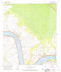
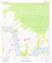
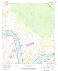
Editions of this 1962 Convent Map
5 editions found
Other maps of this area

1892 · Lac Des Allemands
USGS Topo · 1:62,500

1892 · Mount Airy
USGS Topo · 1:62,500

1892 · Donaldsonville
USGS Topo · 1:62,500

1892 · Thibodaux
USGS Topo · 1:62,500

1927 · Thibodaux NW
USGS Topo · 1:31,680

1932 · Lac Des Allemands NW
USGS Topo · 1:31,680

1932 · Thibodaux NE
USGS Topo · 1:31,680

1935 · Gonzales
USGS Topo · 1:31,680

1939 · Donaldsonville
USGS Topo · 1:62,500

1940 · Lagan
USGS Topo · 1:31,680