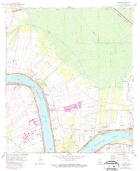
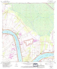
1962 Map of Convent
USGS Topo · Published 1986About this map
The Mississippi River meanders through the heart of St. James Parish, shaping a landscape defined by historic river-fronting land grants and the massive Levee systems designed to contain its seasonal surges. This 1962 survey, updated with 1981 revisions, documents the enduring footprint of the plantation era alongside industrial evolution, featuring well-known sites like Oak Alley Plantation, St Joseph Plantation, and Uncle Sam Plantation. The spatial arrangement of settlements like Convent, Romeville, and Hester Plantation reflects the traditional long-lot survey system, where property lines extend perpendicularly from the riverbank to maximize water access and fertile silt deposits.
Find a feature on this map
41 named features on this map. Tap any name to fly to it.
Don’t see what you’re looking for? This feature index may not catch every label — zoom into the map to look around manually.
Map Details
Editions of this 1962 Convent Map
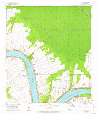
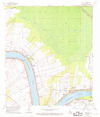
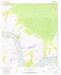
5 editions found
Other maps of this area

1892 · Lac Des Allemands
USGS Topo · 1:62,500

1892 · Mount Airy
USGS Topo · 1:62,500

1892 · Donaldsonville
USGS Topo · 1:62,500

1892 · Thibodaux
USGS Topo · 1:62,500

1927 · Thibodaux NW
USGS Topo · 1:31,680

1932 · Lac Des Allemands NW
USGS Topo · 1:31,680

1932 · Thibodaux NE
USGS Topo · 1:31,680

1935 · Gonzales
USGS Topo · 1:31,680

1939 · Donaldsonville
USGS Topo · 1:62,500

1940 · Lagan
USGS Topo · 1:31,680