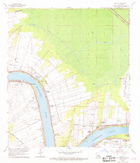
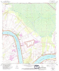
1962 Map of Convent
USGS Topo · Published 1969About this map
The Mississippi River creates a sweeping double bend in this survey of the St. James Parish landscape, anchoring a series of long, narrow riverfront tracts characteristic of French-inspired land division. Prominent estates like Uncle Sam Plantation and Oak Alley Plantation line the waterway, protected by a continuous Levee system. The map documents numerous smaller settlements and landings including Romeville, Convent, and Chatman Town, connected by the Illinois Central and Texas and Pacific railroads that parallel the riverbanks.
Find a feature on this map
48 named features on this map. Tap any name to fly to it.
Don’t see what you’re looking for? This feature index may not catch every label — zoom into the map to look around manually.
Map Details
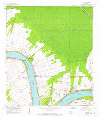
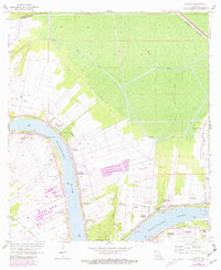
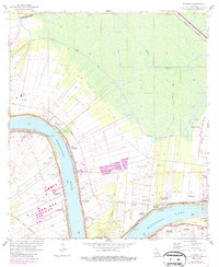
Editions of this 1962 Convent Map
5 editions found
Other maps of this area

1892 · Lac Des Allemands
USGS Topo · 1:62,500

1892 · Mount Airy
USGS Topo · 1:62,500

1892 · Donaldsonville
USGS Topo · 1:62,500

1892 · Thibodaux
USGS Topo · 1:62,500

1927 · Thibodaux NW
USGS Topo · 1:31,680

1932 · Lac Des Allemands NW
USGS Topo · 1:31,680

1932 · Thibodaux NE
USGS Topo · 1:31,680

1935 · Gonzales
USGS Topo · 1:31,680

1939 · Donaldsonville
USGS Topo · 1:62,500

1940 · Lagan
USGS Topo · 1:31,680