
1961 Map of Conway
USGS Topo · Published 1963About this map
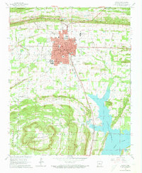
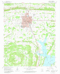
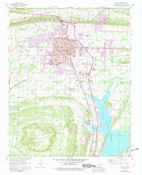
Hendrix College and the State Teachers College define the educational core of Conway in the early 1960s, a period when the city served as a primary hub along the Missouri Pacific railroad. To the south, the expansive waters of Lake Conway meet the rising terrain of Sturges Hill, while the surrounding landscape is marked by a network of small rural communities and family landmarks.
Find a feature on this map
61 named features on this map. Tap any name to fly to it.
Don’t see what you’re looking for? This feature index may not catch every label — zoom into the map to look around manually.
Map Details
Editions of this 1961 Conway Map
4 editions found
Other maps of this area

1890 · Benton
USGS Topo · 1:125,000

1891 · Little Rock
USGS Topo · 1:125,000

1892 · Morrillton
USGS Topo · 1:125,000

1893 · Little Rock
USGS Topo · 1:125,000

1894 · Morrillton
USGS Topo · 1:125,000

1894 · Benton
USGS Topo · 1:125,000

1953 · Cato
USGS Topo · 1:24,000

1953 · Mayflower
USGS Topo · 1:24,000

1955 · Little Rock
USGS Topo · 1:250,000

1956 · Little Rock
USGS Topo · 1:250,000