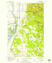
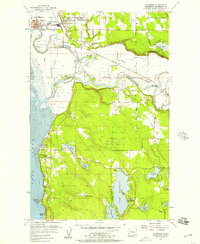
1956 Map of Conway
USGS Topo · Published 1958About this map
Fir Island and the complex delta of the South Fork of the Skagit River dominate this mid-century survey of the Skagit and Snohomish county line. The landscape is defined by an intricate network of waterways, including Steamboat Slough, Milltown Slough, and Freshwater Slough, which separate Milltown Island from the mainland. The Great Northern railroad parallels the river, anchoring the settlements of Conway, Milltown, and Cedardale.
Find a feature on this map
62 named features on this map. Tap any name to fly to it.
Don’t see what you’re looking for? This feature index may not catch every label — zoom into the map to look around manually.
Map Details
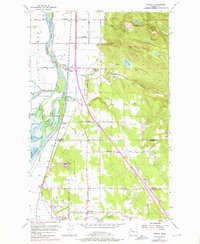
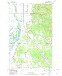
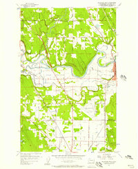
Editions of this 1956 Conway Map
4 editions found

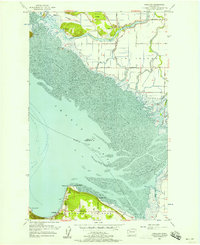
Other maps of this area

1911 · Mount Vernon
USGS Topo · 1:125,000

1940 · Mt Vernon
USGS Topo · 1:62,500

1941 · Marysville
USGS Topo · 1:62,500

1943 · Marysville
USGS Topo · 1:62,500

1943 · Mt Vernon
USGS Topo · 1:62,500

1943 · Stanwood
USGS Topo · 1:62,500

1944 · Clear Lake
USGS Topo · 1:62,500
1956 · Arlington West
USGS Topo · 1:24,000
1956 · Stanwood
USGS Topo · 1:24,000
1956 · Utsalady
USGS Topo · 1:24,000