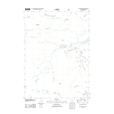
2012 Map of Cony Mountain
USGS Topo · Published 2012About this map
The Middle Popo Agie River carves through this high-altitude landscape of Fremont County, creating distinctive landmarks like Popo Agie Falls. This 2012 survey illustrates a terrain defined by water management and recreation, centered on the Worthen Meadow Reservoir and the Fiddlers Lake Campground. Historic crossing points and clearings like Sheep Bridge and Wild Horse Meadow suggest the long-standing use of these highlands for transit and grazing.
Find a feature on this map
35 named features on this map. Tap any name to fly to it.
Don’t see what you’re looking for? This feature index may not catch every label — zoom into the map to look around manually.
Map Details
Editions of this 2012 Cony Mountain Map
This is the sole edition of this map. No revisions or reprints were ever made.
Other maps of this area

1937 · Moccasin Lake
USGS Topo · 1:48,000

1943 · Moccasin Lake
USGS Topo · 1:62,500

1953 · Sweetwater Gap
USGS Topo · 1:24,000

1953 · Cony Mountain
USGS Topo · 1:24,000

1953 · Mount Arter
USGS Topo · 1:24,000

1953 · Fossil Hill
USGS Topo · 1:24,000

1953 · Louis Lake
USGS Topo · 1:24,000

1953 · Christina Lake
USGS Topo · 1:24,000

1953 · Mount Arter SE
USGS Topo · 1:24,000

1955 · Lander
USGS Topo · 1:250,000