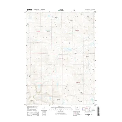
2015 Map of Cony Mountain
USGS Topo · Published 2015About this map
The Shoshone National Forest defines this high-elevation landscape in Fremont County, where the topography transitions between alpine summits and meadow-filled basins. Central to the area's drainage is the Middle Popo Agie River, which descends through the terrain past Popo Agie Falls and the Sheep Bridge. The map reveals a complex network of glacial lakes and reservoirs, including Boulder Lake, Island Lake, and the Worthen Meadow Reservoir, which support the regional hydrology. Diverse terrain features such as Deer Park, Wild Horse Meadow, and the Stough Creek Basin are interspersed between the prominent peaks of Cony Mtn and Roaring Fork Mtn. These naming conventions and the distribution of meadows like Upper Hudson Meadow provide a detailed record of how land use and landform identification have persisted in this part of the Wind River Range into the early 21st century.
Find a feature on this map
41 named features on this map. Tap any name to fly to it.
Don’t see what you’re looking for? This feature index may not catch every label — zoom into the map to look around manually.
Map Details
Editions of this 2015 Cony Mountain Map
This is the sole edition of this map. No revisions or reprints were ever made.
Other maps of this area

1937 · Moccasin Lake
USGS Topo · 1:48,000

1943 · Moccasin Lake
USGS Topo · 1:62,500

1953 · Sweetwater Gap
USGS Topo · 1:24,000

1953 · Cony Mountain
USGS Topo · 1:24,000

1953 · Mount Arter
USGS Topo · 1:24,000

1953 · Fossil Hill
USGS Topo · 1:24,000

1953 · Louis Lake
USGS Topo · 1:24,000

1953 · Christina Lake
USGS Topo · 1:24,000

1953 · Mount Arter SE
USGS Topo · 1:24,000

1955 · Lander
USGS Topo · 1:250,000