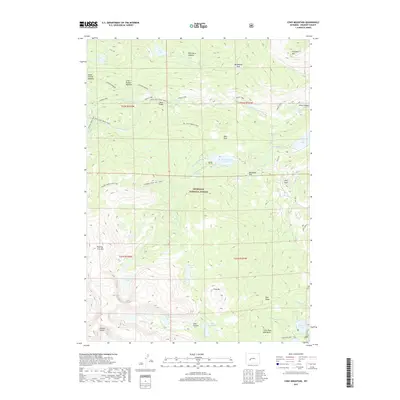
2017 Map of Cony Mountain
USGS Topo · Published 2017About this map
Shoshone National Forest dominates this section of Fremont County, where high-altitude hydrology and recreational infrastructure converge. The landscape is defined by the Middle Popo Agie River and its dramatic passage through Sinks Canyon, a geographical focal point for the region. Evidence of early mountain transit and utility remains visible through features like the Sheep Bridge and the Sheep Bridge Trail, which historically provided essential crossings over the rugged drainage systems.
Find a feature on this map
48 named features on this map. Tap any name to fly to it.
Don’t see what you’re looking for? This feature index may not catch every label — zoom into the map to look around manually.
Map Details
Editions of this 2017 Cony Mountain Map
This is the sole edition of this map. No revisions or reprints were ever made.
Other maps of this area

1937 · Moccasin Lake
USGS Topo · 1:48,000

1943 · Moccasin Lake
USGS Topo · 1:62,500

1953 · Sweetwater Gap
USGS Topo · 1:24,000

1953 · Cony Mountain
USGS Topo · 1:24,000

1953 · Mount Arter
USGS Topo · 1:24,000

1953 · Fossil Hill
USGS Topo · 1:24,000

1953 · Louis Lake
USGS Topo · 1:24,000

1953 · Christina Lake
USGS Topo · 1:24,000

1953 · Mount Arter SE
USGS Topo · 1:24,000

1955 · Lander
USGS Topo · 1:250,000