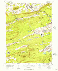
1955 Map of Conyngham
USGS Topo · Published 1956About this map
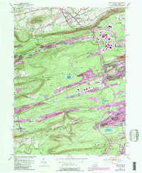
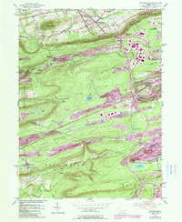
Strip mines dominate the ridges of the anthracite coal region in this mid-century survey, revealing a landscape defined by intensive extraction between West Hazleton and Sheppton. The industrial footprint is evident in the scarred terrain of Buck Mountain and Green Mountain, where excavations follow the coal seams alongside the Lehigh Valley and Pennsylvania railroads. This era captures the transition of small mining patches like Oneida and Harwood (Harwood Mines PO) as they maintained their post offices and community structures amidst the expanding pits.
Find a feature on this map
51 named features on this map. Tap any name to fly to it.
Don’t see what you’re looking for? This feature index may not catch every label — zoom into the map to look around manually.
Map Details
Editions of this 1955 Conyngham Map
6 editions found
Other maps of this area

1889 · Hazleton
USGS Topo · 1:62,500

1891 · Wilkesbarre
USGS Topo · 1:62,500

1891 · Hazleton
USGS Topo · 1:62,500

1892 · Mahanoy
USGS Topo · 1:62,500

1893 · Hazleton
USGS Topo · 1:62,500

1893 · Mahanoy
USGS Topo · 1:62,500

1894 · Shickshinny
USGS Topo · 1:62,500

1894 · Wilkesbarre
USGS Topo · 1:62,500

1943 · Scranton
USGS Topo · 1:125,000

1944 · Newark
USGS Topo · 1:250,000
Featured Places
- Conyngham, PA
- Sheppton, East Union Township
- North Union Township, PA
- Black Creek Township, PA
- Hazle Township, PA