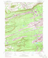
1955 Map of Conyngham
USGS Topo · Published 1971About this map
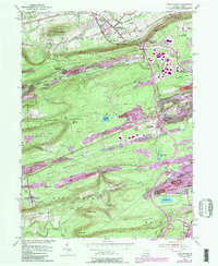
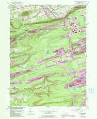
Extensive strip mines dominate the landscape of the anthracite region shown here, carving deep into the ridges between Buck Mountain and Green Mountain. This survey highlights the complex relationship between heavy extraction and localized settlement, with communities like Humboldt and Harwood positioned directly alongside massive mining operations. The southern portion of the map transitions into the steep slopes of Spring Mountain and Pismire Ridge, where the Catawissa Creek flows through narrower valleys. Local civic infrastructure is well-defined, including the Sugarloaf Sch, the Humboldt Fire Tower, and the State College Center near Conyngham. Transportation networks, specifically the Penn Central railroad and the Lehigh Valley road, illustrate how coal-country industry was integrated with regional commerce during the mid-20th century.
Find a feature on this map
50 named features on this map. Tap any name to fly to it.
Don’t see what you’re looking for? This feature index may not catch every label — zoom into the map to look around manually.
Map Details
Editions of this 1955 Conyngham Map
6 editions found
Other maps of this area

1889 · Hazleton
USGS Topo · 1:62,500

1891 · Wilkesbarre
USGS Topo · 1:62,500

1891 · Hazleton
USGS Topo · 1:62,500

1892 · Mahanoy
USGS Topo · 1:62,500

1893 · Hazleton
USGS Topo · 1:62,500

1893 · Mahanoy
USGS Topo · 1:62,500

1894 · Shickshinny
USGS Topo · 1:62,500

1894 · Wilkesbarre
USGS Topo · 1:62,500

1943 · Scranton
USGS Topo · 1:125,000

1944 · Newark
USGS Topo · 1:250,000
Featured Places
- Conyngham, PA
- Sheppton, East Union Township
- North Union Township, PA
- Black Creek Township, PA
- Hazle Township, PA