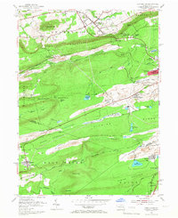
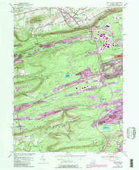
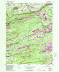
1955 Map of Conyngham
USGS Topo · Published 1966About this map
Coal-rich terrain and industry dominate this 1955 survey of the Pennsylvania anthracite region. Massive strip mines cut through the landscape between Buck Mountain and Green Mountain, reflecting the heavy extractive operations of the mid-century. Small mining settlements like Harwood and Tomhicken are linked by the Lehigh Valley and Reading railroad lines, which navigate the gaps between ridges such as Pismire Ridge and Spring Mountain.
Find a feature on this map
52 named features on this map. Tap any name to fly to it.
Don’t see what you’re looking for? This feature index may not catch every label — zoom into the map to look around manually.
Map Details
Editions of this 1955 Conyngham Map
6 editions found
Other maps of this area

1889 · Hazleton
USGS Topo · 1:62,500

1891 · Wilkesbarre
USGS Topo · 1:62,500

1891 · Hazleton
USGS Topo · 1:62,500

1892 · Mahanoy
USGS Topo · 1:62,500

1893 · Hazleton
USGS Topo · 1:62,500

1893 · Mahanoy
USGS Topo · 1:62,500

1894 · Shickshinny
USGS Topo · 1:62,500

1894 · Wilkesbarre
USGS Topo · 1:62,500

1943 · Scranton
USGS Topo · 1:125,000

1944 · Newark
USGS Topo · 1:250,000
Featured Places
- Conyngham, PA
- Sheppton, East Union Township
- North Union Township, PA
- Black Creek Township, PA
- Hazle Township, PA