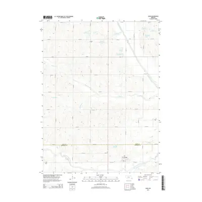
2014 Map of Cook
USGS Topo · Published 2014About this map
Cook sits at the junction of the Ne-49a-Spur and the northern reach of the South Fork Little Nemaha River in this 2014 survey. The landscape is defined by its meticulous water management system, featuring numerous numbered reservoirs like Wilson Cr Reservoir 10-4 and the Ziegler Cr Reservoir Z-5-4 series that dot the drainage basins of Boxelder Cr and Muddy Cr.
Find a feature on this map
39 named features on this map. Tap any name to fly to it.
Don’t see what you’re looking for? This feature index may not catch every label — zoom into the map to look around manually.
Map Details
Editions of this 2014 Cook Map
This is the sole edition of this map. No revisions or reprints were ever made.
Other maps of this area

1903 · Weeping Water
USGS Topo · 1:125,000

1929 · Weeping Water
USGS Topo · 1:125,000

1955 · Lincoln
USGS Topo · 1:250,000

1957 · Lincoln
USGS Topo · 1:250,000

1958 · Lincoln
USGS Topo · 1:250,000
1965 · Tecumseh NW
USGS Topo · 1:24,000
1965 · St. Mary
USGS Topo · 1:24,000
1966 · Dunbar
USGS Topo · 1:24,000
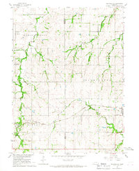
1966 · Tecumseh NE
USGS Topo · 1:24,000
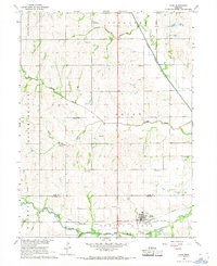
1966 · Cook
USGS Topo · 1:24,000