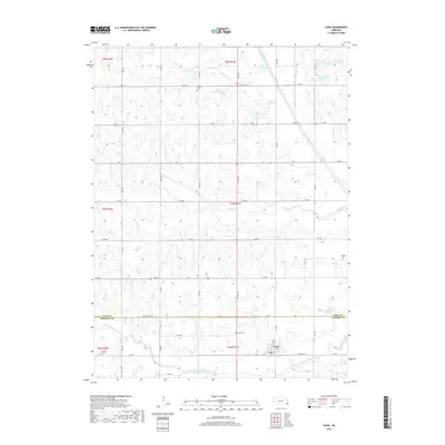
2017 Map of Cook
USGS Topo · Published 2017About this map
Cook sits at the heart of this agricultural landscape in Johnson and Otoe counties, where the village is anchored by Railroad St and R R St. The surrounding countryside is defined by a dense network of water management features, including the Mittleberg Reservoir, Zahn Reservoir, and numerous catchment basins like Ziegler Cr Reservoir Z-5-4 along the winding course of Boxelder Cr. This modern 2017 survey reveals how these smaller reservoirs dot the drainages leading into the Little Nemaha River and its South Fork Little Nemaha River. Local history is preserved in several rural burial grounds such as Dudley Cem, Schacht Cem, and Helena Cem, which remain as permanent markers of the original farmsteads and rural communities that settled these sections along Muddy Cr and Little Muddy Cr.
Find a feature on this map
44 named features on this map. Tap any name to fly to it.
Don’t see what you’re looking for? This feature index may not catch every label — zoom into the map to look around manually.
Map Details
Editions of this 2017 Cook Map
This is the sole edition of this map. No revisions or reprints were ever made.
Other maps of this area

1903 · Weeping Water
USGS Topo · 1:125,000

1929 · Weeping Water
USGS Topo · 1:125,000

1955 · Lincoln
USGS Topo · 1:250,000

1957 · Lincoln
USGS Topo · 1:250,000

1958 · Lincoln
USGS Topo · 1:250,000
1965 · Tecumseh NW
USGS Topo · 1:24,000
1965 · St. Mary
USGS Topo · 1:24,000
1966 · Dunbar
USGS Topo · 1:24,000
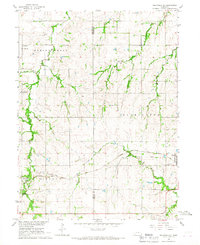
1966 · Tecumseh NE
USGS Topo · 1:24,000
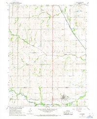
1966 · Cook
USGS Topo · 1:24,000