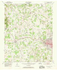
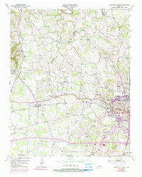
1953 Map of Cookeville West
USGS Topo · Published 1969About this map
The western expansion of Cookeville and the surrounding rural uplands of Putnam and Jackson Counties are documented here as they appeared in the early 1950s. The landscape is defined by the valley of Blackburn Fork and its numerous tributaries, including East Fork and West Branch. The growing urban center of Cookeville is anchored by the campus of the Tennessee Polytechnic Institute, with nearby landmarks like the General Hospital and the Radio Tower (WHUB) providing a look at the mid-century infrastructure of the regional hub.
Find a feature on this map
76 named features on this map. Tap any name to fly to it.
Don’t see what you’re looking for? This feature index may not catch every label — zoom into the map to look around manually.
Map Details
Editions of this 1953 Cookeville West Map
6 editions found
Other maps of this area

1897 · Standingstone
USGS Topo · 1:125,000

1898 · Standingstone
USGS Topo · 1:125,000

1925 · Gainesboro
USGS Topo · 1:62,500

1929 · Gainesboro
USGS Topo · 1:62,500

1943 · Cookeville
USGS Topo · 1:100,000

1944 · Cookeville
USGS Topo · 1:100,000

1951 · Windle
USGS Topo · 1:24,000

1953 · Cookeville East
USGS Topo · 1:24,000

1953 · Cookeville West
USGS Topo · 1:24,000
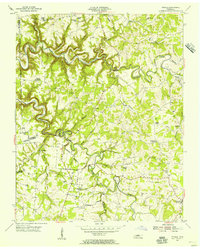
1955 · Windle
USGS Topo · 1:24,000