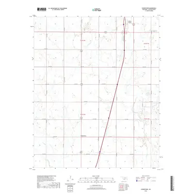
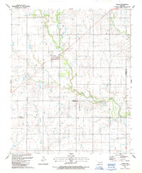
2018 Map of Cookietown
USGS Topo · Published 2018About this map
Cookietown anchors this Cotton County landscape, sitting amidst a highly structured grid of section lines and county roads. The terrain is defined by the subtle drainage patterns of Deep Red Cr, Dry Red Cr, and the winding W Cache Cr, which break the geometric precision of the agricultural survey lines. This 2018 survey reveals a modern rural environment where the wide-set town site is linked to the surrounding region by a dense network of routes such as Co RD e1890 and Co RD n2540. In the northern portion of the quadrangle, the Walters Municipal Airport and the 033004 Reservoir reflect the infrastructure supporting this corner of Oklahoma, showing the continued relevance of these small settlements in the 21st century.
Find a feature on this map
25 named features on this map. Tap any name to fly to it.
Don’t see what you’re looking for? This feature index may not catch every label — zoom into the map to look around manually.
Map Details
Editions of this 2018 Cookietown Map
This is the sole edition of this map. No revisions or reprints were ever made.
Other maps of this area

1955 · Lawton
USGS Topo · 1:250,000

1957 · Burkburnett
USGS Topo · 1:62,500

1957 · Randlett
USGS Topo · 1:62,500

1962 · Chattanooga
USGS Topo · 1:62,500

1962 · Walters
USGS Topo · 1:62,500
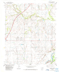
1985 · Randlett
USGS Topo · 1:24,000
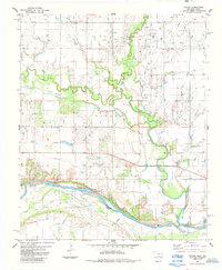
1985 · Taylor
USGS Topo · 1:24,000
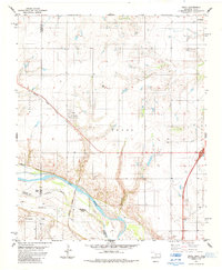
1985 · Devol
USGS Topo · 1:24,000

1985 · Burkburnett
USGS Topo · 1:100,000
1987 · Faxon
USGS Topo · 1:24,000