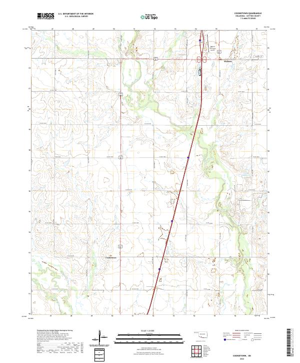
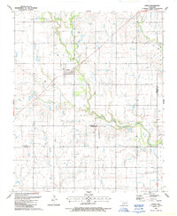
2022 Map of Cookietown
USGS Topo · Published 2022About this map
Cookietown anchors the southern portion of this Cotton County landscape, sitting amidst a grid of section-line roads and the winding paths of several regional waterways. The terrain is defined by the convergence of the W Cache Cr and the drainage systems of Deep Red Cr and Dry Red Cr, illustrating the typical hydrology of the Great Plains where intermittent streams carve subtle variations into the prairie. To the north, the outskirts of Walters are visible, including the Walters Municipal Airport, which serves as a modern aeronautical landmark in this largely agricultural region. The map preserves a moment in time where rural transportation relies on an extensive network of county roads like Co RD n2530 and Co RD e1860, connecting isolated farmsteads and agricultural plots within the Public Land Survey System townships of T2S and T3S.
Find a feature on this map
27 named features on this map. Tap any name to fly to it.
Don’t see what you’re looking for? This feature index may not catch every label — zoom into the map to look around manually.
Map Details
Editions of this 2022 Cookietown Map
This is the sole edition of this map. No revisions or reprints were ever made.
Other maps of this area

1955 · Lawton
USGS Topo · 1:250,000

1957 · Burkburnett
USGS Topo · 1:62,500

1957 · Randlett
USGS Topo · 1:62,500

1962 · Chattanooga
USGS Topo · 1:62,500

1962 · Walters
USGS Topo · 1:62,500
1985 · Randlett
USGS Topo · 1:24,000
1985 · Taylor
USGS Topo · 1:24,000
1985 · Devol
USGS Topo · 1:24,000

1985 · Burkburnett
USGS Topo · 1:100,000
1987 · Faxon
USGS Topo · 1:24,000