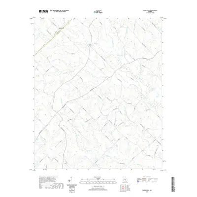
2020 Map of Cooks Still
USGS Topo · Published 2020About this map
Poplar Hill sits at the northern edge of this south-central Georgia landscape, where the boundary between Dodge and Telfair counties follows the local road network. The terrain is defined by a dense network of watercourses, most notably Alligator Creek and its tributary Little Alligator Cr, which wind through the southern half of the quadrangle. These wetlands are punctuated by small bodies of water like Garrison Lake and Davis Pond.
Find a feature on this map
79 named features on this map. Tap any name to fly to it.
Don’t see what you’re looking for? This feature index may not catch every label — zoom into the map to look around manually.
Map Details
Editions of this 2020 Cooks Still Map
This is the sole edition of this map. No revisions or reprints were ever made.
Other maps of this area

1953 · Waycross
USGS Topo · 1:250,000

1957 · Macon
USGS Topo · 1:250,000

1958 · Macon
USGS Topo · 1:250,000

1958 · Waycross
USGS Topo · 1:250,000

1964 · Macon
USGS Topo · 1:250,000

1972 · Cooks Still
USGS Topo · 1:24,000

1972 · Jacksonville
USGS Topo · 1:24,000
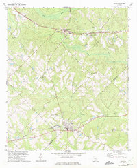
1972 · Milan
USGS Topo · 1:24,000
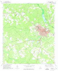
1972 · Mc Rae
USGS Topo · 1:24,000

1972 · Lake Cypress
USGS Topo · 1:24,000