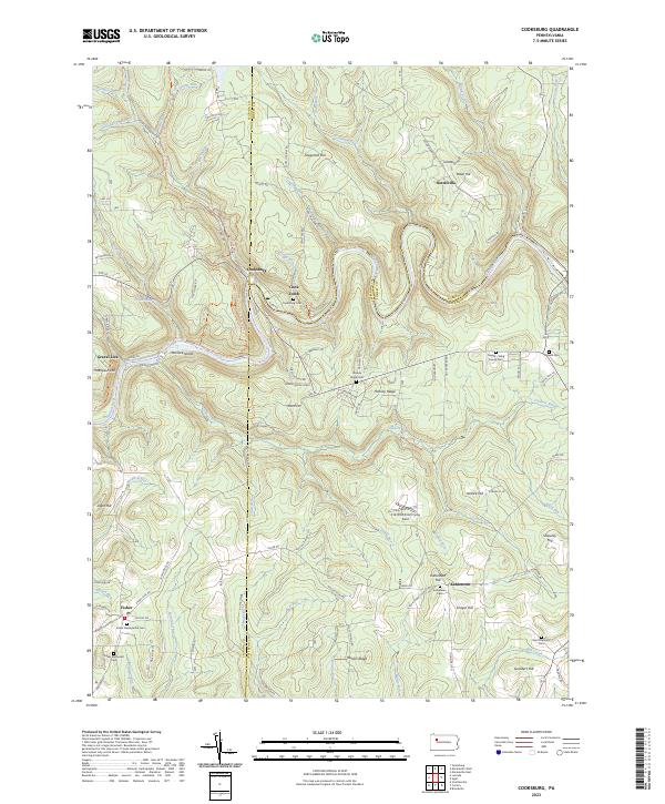
2023 Map of Cooksburg
USGS Topo · Published 2023About this map
The Clarion Wild and Scenic River meanders through the heart of this landscape, its steep banks defining the character of the borderlands between Clarion, Forest, and Jefferson Counties. At the water's edge, the settlement of Cooksburg serves as a central point, anchored by the Cooksburg Cem and the nearby Cook Tomb. The map reveals a deeply etched topography where high ridges like Hominy Ridge and Rankin Ridge are separated by a dense network of watercourses, including Cathers Run and Toms Run.
Find a feature on this map
91 named features on this map. Tap any name to fly to it.
Don’t see what you’re looking for? This feature index may not catch every label — zoom into the map to look around manually.
Map Details
Editions of this 2023 Cooksburg Map
This is the sole edition of this map. No revisions or reprints were ever made.
Other maps of this area

1906 · Clarion
USGS Topo · 1:62,500

1907 · Clarion
USGS Topo · 1:62,500

1918 · Loleta
USGS Topo · 1:62,500

1922 · Tionesta
USGS Topo · 1:62,500

1924 · Tionesta
USGS Topo · 1:62,500

1924 · Brookville
USGS Topo · 1:62,500

1926 · Brookville
USGS Topo · 1:62,500

1936 · Marienville
USGS Topo · 1:48,000

1941 · Marienville
USGS Topo · 1:62,500

1944 · Brookville
USGS Topo · 1:62,500
Featured Places
- Farmington Township, PA
- Barnett Township, PA
- Barnett Township, PA
- Millcreek Township, PA
- Turkey Ridge, PA