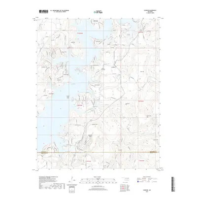
2019 Map of Cookson
USGS Topo · Published 2019About this map
Tenkiller Ferry Lake dominates the center of this landscape in the late 2010s, its winding shoreline creating numerous peninsulas and high bluffs such as Cookson Bluff and Turkey Bluff. The settlement of Cookson sits on the eastern shore, serving as a hub for the recreational and residential developments that define this era, including the Tenkiller Lake Airpark and Cookson Cem. The topography is defined by the steep rises of the Cookson Hills, featuring named peaks like Canoe Mtn, Wildhorse Mtn, and Buckhorn Mtn that overlook the flooded river valleys. Transportation is focused on lake access and local connection, with routes like W Cookson Bend Rd and S Skyline Dr tracing the high ridges. In the northern reaches, Pettit Bay provides another point of access to the water, while southern features like Chicken Creek Island highlight the complex geography created by the reservoir's inundation of the original terrain.
Find a feature on this map
67 named features on this map. Tap any name to fly to it.
Don’t see what you’re looking for? This feature index may not catch every label — zoom into the map to look around manually.
Map Details
Editions of this 2019 Cookson Map
This is the sole edition of this map. No revisions or reprints were ever made.
Other maps of this area

1898 · Tahlequah
USGS Topo · 1:125,000

1901 · Muscogee
USGS Topo · 1:125,000

1901 · Tahlequah
USGS Topo · 1:125,000

1905 · Muscogee
USGS Topo · 1:125,000

1905 · Tahlequah
USGS Topo · 1:125,000

1946 · Fort Smith
USGS Topo · 1:250,000

1948 · Hulbert
USGS Topo · 1:62,500

1948 · Webbers Falls
USGS Topo · 1:62,500

1950 · Hulbert
USGS Topo · 1:62,500

1950 · Webbers Falls
USGS Topo · 1:62,500