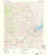
1968 Map of Coolidge Dam
USGS Topo · Published 1971About this map
Coolidge Dam serves as the focal point of this arid landscape, holding back the San Carlos Reservoir within the San Carlos Indian Reservation. The 1968 survey data shows the Gila River winding through deep canyons south of the dam, passing through a terrain defined by named water sources essential to desert life, such as Warm Spring, Blue Mountain Spring, and Stockton Well. The presence of several prospect markings and ruins suggests a history of mineral exploration and early habitation in the shadow of the Hayes Mountains. The map documents a complex network of pack trails and jeep tracks connecting remote locations like Poverty Flat and Standing Rock Catchment Basin, reflecting the logistical challenges of land management and ranching in the Gila and Pinal county borderlands during the late 1960s.
Find a feature on this map
44 named features on this map. Tap any name to fly to it.
Don’t see what you’re looking for? This feature index may not catch every label — zoom into the map to look around manually.
Map Details
Editions of this 1968 Coolidge Dam Map
2 editions found
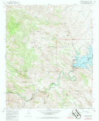
Other maps of this area

1915 · Christmas
USGS Topo · 1:62,500

1917 · Christmas
USGS Topo · 1:62,500

1954 · Mesa
USGS Topo · 1:250,000

1957 · Mesa
USGS Topo · 1:250,000

1958 · Mesa
USGS Topo · 1:250,000

1960 · Mesa
USGS Topo · 1:250,000

1962 · San Carlos Reservoir
USGS Topo · 1:62,500

1964 · Mesa
USGS Topo · 1:250,000

1965 · Bucket Mtn
USGS Topo · 1:24,000
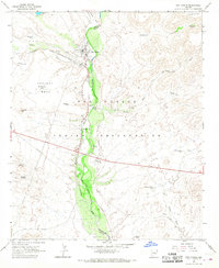
1966 · San Carlos
USGS Topo · 1:24,000