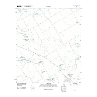
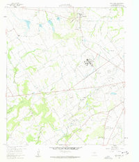
2010 Map of Coolidge
USGS Topo · Published 2010About this map
Coolidge anchors the southeastern corner of this Central Texas landscape, where a sophisticated network of flood control structures defines the rural geography. The region is heavily managed by numerous reservoirs, including Soil Conservation Service Site 106a Reservoir and Soil Conservation Service Site 10 Reservoir, which regulate the flow of Pin Oak Creek and its many tributaries. This hydrologic engineering reflects a mid-to-late 20th-century transition toward soil preservation and water management in the Blackland Prairie.
Find a feature on this map
80 named features on this map. Tap any name to fly to it.
Don’t see what you’re looking for? This feature index may not catch every label — zoom into the map to look around manually.
Map Details
Editions of this 2010 Coolidge Map
This is the sole edition of this map. No revisions or reprints were ever made.
Other maps of this area
1920 · Mart
USGS Topo · 1:62,500

1954 · Waco
USGS Topo · 1:250,000

1955 · Waco
USGS Topo · 1:250,000
1956 · Hubbard
USGS Topo · 1:24,000
1956 · Dawson
USGS Topo · 1:24,000
1957 · Irene
USGS Topo · 1:24,000
1957 · Prairie Hill
USGS Topo · 1:24,000
1957 · Groesbeck
USGS Topo · 1:62,500
1960 · Echols
USGS Topo · 1:24,000
1960 · Tehuacana
USGS Topo · 1:24,000