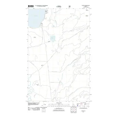
2011 Map of Coolin
USGS Topo · Published 2011About this map
Coolin sits at the southern shore of Priest Lake, serving as a primary gateway to the high country of the Selkirk Mountains in this early 21st-century survey. The landscape is defined by the sharp transition from the lake's eastern shoreline, including Sherwood Beach and Plumbago Point, to the steep drainages of Soldier Creek and Lee Creek. This area illustrates a heavily managed forest and recreation landscape, where established recreational sites like Priest Lake State Park and the Chase Lake Access Area are linked by an extensive network of forestry and access roads. The geography of the eastern portion is dominated by notable heights such as Sundance Mountain and Coolin Mountain, with the hydrological system flowing through complex terrain into the North Fork East River and Middle Fork East River. Smaller interior water bodies like Chase Lake and Lee Lake are preserved amidst the timberlands, highlighting the region's character as a nexus for both industry and backcountry exploration.
Find a feature on this map
34 named features on this map. Tap any name to fly to it.
Don’t see what you’re looking for? This feature index may not catch every label — zoom into the map to look around manually.
Map Details
Editions of this 2011 Coolin Map
This is the sole edition of this map. No revisions or reprints were ever made.
Other maps of this area
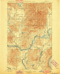
1901 · Sandpoint
USGS Topo · 1:125,000
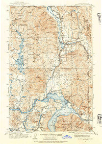
1911 · Priest Lake
USGS Topo · 1:250,000
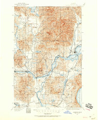
1911 · Sandpoint
USGS Topo · 1:125,000
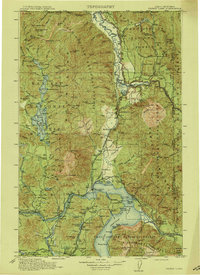
1913 · Priest Lake
USGS Topo · 1:250,000
1958 · Sandpoint
USGS Topo · 1:250,000
1963 · Sandpoint
USGS Topo · 1:250,000
1967 · Quartz Mtn
USGS Topo · 1:24,000
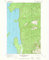
1967 · Priest Lake SE
USGS Topo · 1:24,000
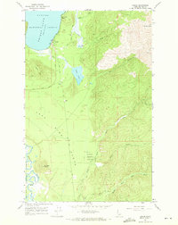
1967 · Coolin
USGS Topo · 1:24,000
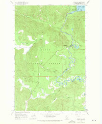
1967 · Outlet Bay
USGS Topo · 1:24,000