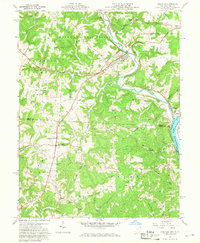
1960 Map of Coolville
USGS Topo · Published 1968About this map
The Hocking River winds through this 1960 landscape toward its confluence with the Ohio River at the West Virginia border. The village of Coolville serves as a primary hub, situated near the Baltimore and Ohio railroad corridor and the Coolville Station settlement. The topography is defined by the high ground of Brimstone Ridge and Limberger Ridge, much of which is encompassed by the Wayne National Forest. Rural life is centered around community institutions like the Carthage-Troy Township Sch and Olive-Orange Township Sch, along with numerous country churches such as White Chapel and Success Ch. Evidence of the region's extractive economy is visible through scattered Gas Wells and Oil Wells, particularly in the southern townships of Orange and Olive. Small crossroads communities like Tuppers Plains and Vanderhoof are connected by a network of winding roads, some following the path of Fourmile Creek.
Find a feature on this map
54 named features on this map. Tap any name to fly to it.
Don’t see what you’re looking for? This feature index may not catch every label — zoom into the map to look around manually.
Map Details
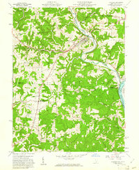
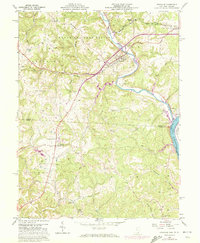
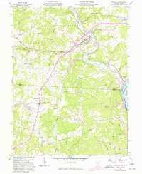
Editions of this 1960 Coolville Map
4 editions found
Other maps of this area

1902 · Parkersburg
USGS Topo · 1:62,500

1904 · Parkersburg
USGS Topo · 1:62,500

1904 · Chesterhill
USGS Topo · 1:62,500

1906 · Belleville
USGS Topo · 1:62,500

1906 · Chesterhill
USGS Topo · 1:62,500

1907 · Keno
USGS Topo · 1:62,500

1924 · Belleville
USGS Topo · 1:62,500

1926 · Belleville
USGS Topo · 1:62,500

1949 · Clarksburg
USGS Topo · 1:250,000

1956 · Clarksburg
USGS Topo · 1:250,000