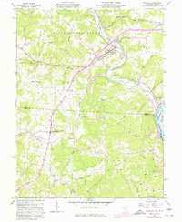
1960 Map of Coolville
USGS Topo · Published 1977About this map
The Hocking River loops through a landscape of ridges and creek valleys just above its confluence with the Ohio River. Settled crossroads and rural hamlets like Tuppers Plains and Coolville serve as anchors for the surrounding townships of Carthage, Troy, and Orange. Education and community life are centered at the Carthage-Troy Township Sch and the Olive-Orange Township Sch, while numerous small family cemeteries like Frame Cem and Humphrey Cem are tucked into the hillsides.
Find a feature on this map
61 named features on this map. Tap any name to fly to it.
Don’t see what you’re looking for? This feature index may not catch every label — zoom into the map to look around manually.
Map Details
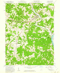
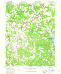
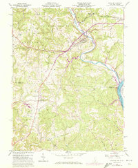
Editions of this 1960 Coolville Map
4 editions found
Other maps of this area

1902 · Parkersburg
USGS Topo · 1:62,500

1904 · Parkersburg
USGS Topo · 1:62,500

1904 · Chesterhill
USGS Topo · 1:62,500

1906 · Belleville
USGS Topo · 1:62,500

1906 · Chesterhill
USGS Topo · 1:62,500

1907 · Keno
USGS Topo · 1:62,500

1924 · Belleville
USGS Topo · 1:62,500

1926 · Belleville
USGS Topo · 1:62,500

1949 · Clarksburg
USGS Topo · 1:250,000

1956 · Clarksburg
USGS Topo · 1:250,000