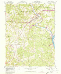
1960 Map of Coolville
USGS Topo · Published 1973About this map
The Hocking River winds through a landscape of ridges and runs, meeting the Ohio River at Hockingport in this 1960s-era topographic study. This river junction defines the regional topography, where the Baltimore and Ohio railroad cuts across the northern terrain near Coolville and Coolville Station. The interior is marked by a dense network of small rural institutions, including the Carthage-Troy Township Sch and numerous family and community burial grounds like Weatherby Cem and Humphrey Cem.
Find a feature on this map
60 named features on this map. Tap any name to fly to it.
Don’t see what you’re looking for? This feature index may not catch every label — zoom into the map to look around manually.
Map Details
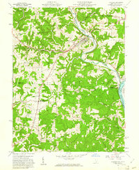
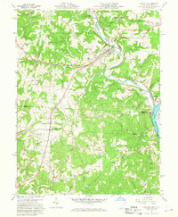
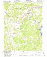
Editions of this 1960 Coolville Map
4 editions found
Other maps of this area

1902 · Parkersburg
USGS Topo · 1:62,500

1904 · Parkersburg
USGS Topo · 1:62,500

1904 · Chesterhill
USGS Topo · 1:62,500

1906 · Belleville
USGS Topo · 1:62,500

1906 · Chesterhill
USGS Topo · 1:62,500

1907 · Keno
USGS Topo · 1:62,500

1924 · Belleville
USGS Topo · 1:62,500

1926 · Belleville
USGS Topo · 1:62,500

1949 · Clarksburg
USGS Topo · 1:250,000

1956 · Clarksburg
USGS Topo · 1:250,000