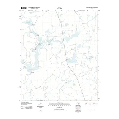
2010 Map of Coon Creek Lake
USGS Topo · Published 2010About this map
The Koon Kreek Klub forms a central point of interest in this portion of Henderson County, where an intricate network of man-made dams has transformed the local hydrology. Numerous private and recreational reservoirs define the landscape, including Koon Kreek Lake, Old Lake, and Terra Verda Lake, each supported by dedicated earthen structures. The drainage pattern is dictated by Coon Creek and Catfish Creek, with smaller tributaries like Pickle Branch and Goldman Branch feeding into the larger chain of lakes. This 2010 survey illustrates a region largely shaped by private land management and water conservation efforts.
Find a feature on this map
68 named features on this map. Tap any name to fly to it.
Don’t see what you’re looking for? This feature index may not catch every label — zoom into the map to look around manually.
Map Details
Editions of this 2010 Coon Creek Lake Map
This is the sole edition of this map. No revisions or reprints were ever made.
Other maps of this area

1949 · Palestine
USGS Topo · 1:62,500

1949 · Frankston
USGS Topo · 1:62,500

1949 · Athens
USGS Topo · 1:62,500

1949 · Tennessee Colony
USGS Topo · 1:62,500

1950 · Athens
USGS Topo · 1:62,500

1950 · Palestine
USGS Topo · 1:62,500

1950 · Frankston
USGS Topo · 1:62,500

1950 · Tennessee Colony
USGS Topo · 1:62,500

1953 · Palestine
USGS Topo · 1:250,000

1956 · Tyler
USGS Topo · 1:250,000