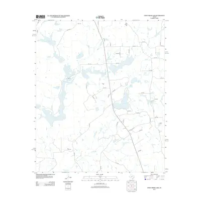
2012 Map of Coon Creek Lake
USGS Topo · Published 2012About this map
Coon Creek Lake and its surrounding watershed define this pocket of East Texas, where the landscape is a network of small lakes and creek branches. This 2012 survey by the U.S. Geological Survey shows a rural area heavily shaped by water management and localized agriculture. Significant water bodies like Murchison Lake, Slaughter Lakes, and the Catfish Cr Ranch Lake dominate the terrain, interspersed with family-named landmarks such as Shelton Mill Br and Pickle Br.
Find a feature on this map
63 named features on this map. Tap any name to fly to it.
Don’t see what you’re looking for? This feature index may not catch every label — zoom into the map to look around manually.
Map Details
Editions of this 2012 Coon Creek Lake Map
This is the sole edition of this map. No revisions or reprints were ever made.
Other maps of this area

1949 · Palestine
USGS Topo · 1:62,500

1949 · Frankston
USGS Topo · 1:62,500

1949 · Athens
USGS Topo · 1:62,500

1949 · Tennessee Colony
USGS Topo · 1:62,500

1950 · Athens
USGS Topo · 1:62,500

1950 · Palestine
USGS Topo · 1:62,500

1950 · Frankston
USGS Topo · 1:62,500

1950 · Tennessee Colony
USGS Topo · 1:62,500

1953 · Palestine
USGS Topo · 1:250,000

1956 · Tyler
USGS Topo · 1:250,000