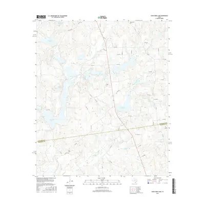
2016 Map of Coon Creek Lake
USGS Topo · Published 2016About this map
The county boundary between Henderson and Anderson Counties bisects a landscape defined by an intricate network of creeks and small impoundments. In this region, water dictates the layout of the land, with Catfish Creek and Coon Creek feeding into numerous named bodies of water such as Coon Creek Lake, Catfish Cr Ranch Lake, and Murchison Lake. The terrain is punctuated by small peaks like Pine Grove Hill, while the human history of the area is preserved in several rural burial grounds, including Owen Cem, Modoc Cem, and Price Chapel Cem. A dense grid of county roads and farm-to-market routes like FM 1615 and FM 2970 connect these quiet homesteads and water features. The concentration of private ranch roads and small, family-named lakes like Lunceford Lake and Soutter Lake suggests a modern era of decentralized agricultural holdings and private recreation near the county line.
Find a feature on this map
64 named features on this map. Tap any name to fly to it.
Don’t see what you’re looking for? This feature index may not catch every label — zoom into the map to look around manually.
Map Details
Editions of this 2016 Coon Creek Lake Map
This is the sole edition of this map. No revisions or reprints were ever made.
Other maps of this area

1949 · Palestine
USGS Topo · 1:62,500

1949 · Frankston
USGS Topo · 1:62,500

1949 · Athens
USGS Topo · 1:62,500

1949 · Tennessee Colony
USGS Topo · 1:62,500

1950 · Athens
USGS Topo · 1:62,500

1950 · Palestine
USGS Topo · 1:62,500

1950 · Frankston
USGS Topo · 1:62,500

1950 · Tennessee Colony
USGS Topo · 1:62,500

1953 · Palestine
USGS Topo · 1:250,000

1956 · Tyler
USGS Topo · 1:250,000