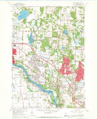
1967 Map of Coon Rapids
USGS Topo · Published 1969About this map
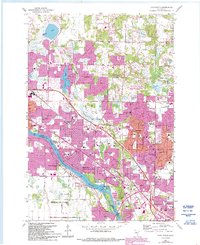
The Mississippi River defines the southwestern boundary of this 1967 survey, where the Coon Rapids Dam and adjacent Powerhouse reflect the era's infrastructure alongside the growing residential developments of Coon Rapids. The landscape is a mix of suburban expansion and natural hydrology, with numerous water bodies like Round Lake, Crooked Lake, and Bunker Lake interspersed among new neighborhoods.
Find a feature on this map
75 named features on this map. Tap any name to fly to it.
Don’t see what you’re looking for? This feature index may not catch every label — zoom into the map to look around manually.
Map Details
Editions of this 1967 Coon Rapids Map
5 editions found
Other maps of this area

1902 · White Bear
USGS Topo · 1:62,500

1902 · Anoka
USGS Topo · 1:62,500

1916 · St. Francis
USGS Topo · 1:62,500

1919 · St. Francis
USGS Topo · 1:62,500

1952 · Minneapolis North
USGS Topo · 1:24,000

1952 · New Brighton
USGS Topo · 1:24,000

1953 · Stillwater
USGS Topo · 1:250,000

1955 · Osseo
USGS Topo · 1:24,000

1955 · Circle Pines
USGS Topo · 1:24,000

1955 · Anoka
USGS Topo · 1:24,000