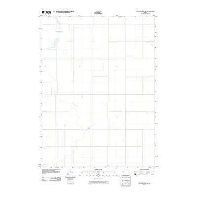
2010 Map of Coon Rapids NE
USGS Topo · Published 2010About this map
Dunbar Slough dominates the northwest corner of this rural Jackson Township landscape, reflecting the natural hydrography that has long influenced the drainage and agricultural patterns of Greene County. This 2010 survey illustrates a sparsely populated agrarian region defined by a rigid section-line road network, including thoroughfares like 270th St and 330th St. For the local historian or genealogist, the map preserves the exact location of Willow Cemetery, a significant landmark situated near 310th St. The sparse distribution of named features highlights the open, managed character of the Iowa prairie in the early 21st century.
Find a feature on this map
6 named features on this map. Tap any name to fly to it.
Don’t see what you’re looking for? This feature index may not catch every label — zoom into the map to look around manually.
Map Details
Editions of this 2010 Coon Rapids NE Map
This is the sole edition of this map. No revisions or reprints were ever made.
Other maps of this area

1954 · Bagley
USGS Topo · 1:62,500

1954 · Omaha
USGS Topo · 1:250,000

1954 · Fort Dodge
USGS Topo · 1:250,000

1957 · Omaha
USGS Topo · 1:250,000

1957 · Fort Dodge
USGS Topo · 1:250,000

1958 · Omaha
USGS Topo · 1:250,000

1958 · Fort Dodge
USGS Topo · 1:250,000

1962 · Jefferson
USGS Topo · 1:62,500

1971 · Coon Rapids South
USGS Topo · 1:24,000

1971 · Coon Rapids NE
USGS Topo · 1:24,000
Featured Places
- Jackson Township, IA
- Willow Township, IA
- Greenbrier Township, IA
- Scranton Township, IA
- Greene County, IA