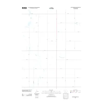
2013 Map of Coon Rapids NE
USGS Topo · Published 2013About this map
Dunbar Slough dominates the northwestern landscape of this Greene County township, illustrating the persistent wetlands that characterize this portion of Iowa. The terrain is defined by a strictly organized grid of rural roads, including B Ave and 300th St, which partition the agricultural land around the watercourses of Willow Cr and Greenbrier Cr. A notable engineering feature is Drainage Ditch Number 117, a straight-line water management channel that cuts through the eastern sections, reflecting the region's historical transformation from prairie wetlands into productive farmland. This 2013 survey provides a clear view of the modern rural infrastructure and the remaining natural drainage patterns in the area northeast of Coon Rapids.
Find a feature on this map
20 named features on this map. Tap any name to fly to it.
Don’t see what you’re looking for? This feature index may not catch every label — zoom into the map to look around manually.
Map Details
Editions of this 2013 Coon Rapids NE Map
This is the sole edition of this map. No revisions or reprints were ever made.
Other maps of this area

1954 · Bagley
USGS Topo · 1:62,500

1954 · Omaha
USGS Topo · 1:250,000

1954 · Fort Dodge
USGS Topo · 1:250,000

1957 · Omaha
USGS Topo · 1:250,000

1957 · Fort Dodge
USGS Topo · 1:250,000

1958 · Omaha
USGS Topo · 1:250,000

1958 · Fort Dodge
USGS Topo · 1:250,000

1962 · Jefferson
USGS Topo · 1:62,500

1971 · Coon Rapids South
USGS Topo · 1:24,000

1971 · Coon Rapids NE
USGS Topo · 1:24,000
Featured Places
- Jackson Township, IA
- Willow Township, IA
- Greenbrier Township, IA
- Scranton Township, IA
- Greene County, IA