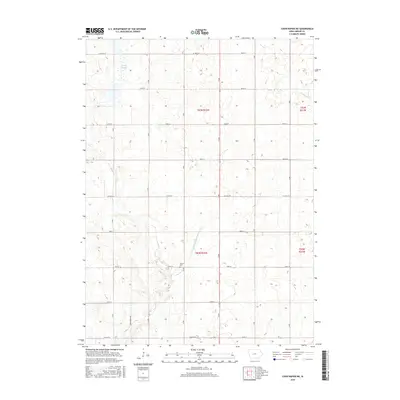
2015 Map of Coon Rapids NE
USGS Topo · Published 2015About this map
Dunbar Slough dominates the northwest corner of this rural Greene County landscape, illustrating the characteristic wetland and drainage patterns of the Iowa plains. The transition from natural water bodies to engineered agricultural infrastructure is evident in the presence of Drainage Ditch Number 117, which channelizes flow alongside the meandering paths of Willow Cr and Greenbrier Cr.
Find a feature on this map
20 named features on this map. Tap any name to fly to it.
Don’t see what you’re looking for? This feature index may not catch every label — zoom into the map to look around manually.
Map Details
Editions of this 2015 Coon Rapids NE Map
This is the sole edition of this map. No revisions or reprints were ever made.
Other maps of this area

1954 · Bagley
USGS Topo · 1:62,500

1954 · Omaha
USGS Topo · 1:250,000

1954 · Fort Dodge
USGS Topo · 1:250,000

1957 · Omaha
USGS Topo · 1:250,000

1957 · Fort Dodge
USGS Topo · 1:250,000

1958 · Omaha
USGS Topo · 1:250,000

1958 · Fort Dodge
USGS Topo · 1:250,000

1962 · Jefferson
USGS Topo · 1:62,500

1971 · Coon Rapids South
USGS Topo · 1:24,000

1971 · Coon Rapids NE
USGS Topo · 1:24,000
Featured Places
- Jackson Township, IA
- Willow Township, IA
- Greenbrier Township, IA
- Scranton Township, IA
- Greene County, IA