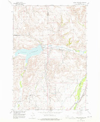
1956 Map of Cooney Reservoir
USGS Topo · Published 1976About this map
Cooney Reservoir dominates the landscape of this 1950s Montana survey, serving as a critical water management feature at the confluence of Red Lodge Creek and Willow Creek. The map documents a sophisticated irrigation network essential to Carbon County agriculture, featuring an extensive system of named canals such as the Finn Ditch, Korpola Ditch, and Saarela Ditch. These waterways, along with several flumes and a siphon, illustrate the engineering required to move water across the undulating terrain near Church Hill. Local civic life is represented by the Wilson Sch and Upper Cottonwood School, providing touchpoints for genealogical research. The Northern Pacific railroad line runs along Rock Creek in the southeastern corner, marking the vital transportation corridor that linked these rural ranching and farming communities to larger markets.
Find a feature on this map
33 named features on this map. Tap any name to fly to it.
Don’t see what you’re looking for? This feature index may not catch every label — zoom into the map to look around manually.
Map Details
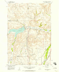
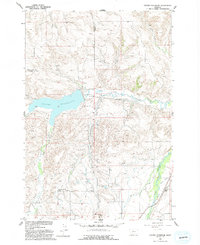
Editions of this 1956 Cooney Reservoir Map
3 editions found
Other maps of this area

1892 · Stillwater
USGS Topo · 1:125,000

1932 · Red Lodge No 2
USGS Topo · 1:48,000

1932 · Red Lodge No 1
USGS Topo · 1:48,000

1954 · Billings
USGS Topo · 1:250,000

1955 · Whitebird School
USGS Topo · 1:24,000

1956 · Shane Ridge
USGS Topo · 1:24,000

1956 · Roscoe NE
USGS Topo · 1:24,000

1956 · Rapids
USGS Topo · 1:24,000

1956 · Roberts
USGS Topo · 1:24,000

1956 · Castagne
USGS Topo · 1:24,000