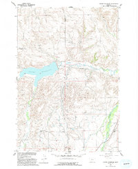
1956 Map of Cooney Reservoir
USGS Topo · Published 1993About this map
Cooney Reservoir dominates this mid-century landscape at the border of Stillwater and Carbon counties, serving as a focal point for water management in the Missouri River Basin. Fed by Red Lodge Creek and Willow Creek, the reservoir’s infrastructure is clearly documented through features like the Spillway and a nearby Gaging Sta. The map reveals a rural community supported by a complex network of irrigation, including several instances of a Ditch, Flumes, and a Siphon designed to move water across the undulating terrain.
Find a feature on this map
24 named features on this map. Tap any name to fly to it.
Don’t see what you’re looking for? This feature index may not catch every label — zoom into the map to look around manually.
Map Details
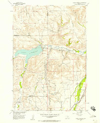
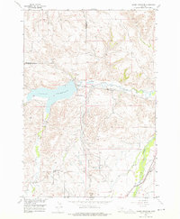
Editions of this 1956 Cooney Reservoir Map
3 editions found
Other maps of this area

1892 · Stillwater
USGS Topo · 1:125,000

1932 · Red Lodge No 2
USGS Topo · 1:48,000

1932 · Red Lodge No 1
USGS Topo · 1:48,000

1954 · Billings
USGS Topo · 1:250,000

1955 · Whitebird School
USGS Topo · 1:24,000

1956 · Shane Ridge
USGS Topo · 1:24,000

1956 · Roscoe NE
USGS Topo · 1:24,000

1956 · Rapids
USGS Topo · 1:24,000

1956 · Roberts
USGS Topo · 1:24,000

1956 · Castagne
USGS Topo · 1:24,000