
1963 Map of Cooper City SW
USGS Topo · Published 1964About this map
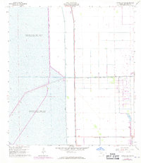
South New River Canal cuts a sharp horizontal line across this 1963 landscape, marking a period of significant hydrological engineering in the Florida Everglades. The Western half of the region is dominated by vast impoundment zones, specifically Conservation Area No 3A and Conservation Area No 3, where water is managed behind an extensive system of embankments including Levee No 37 and Levee No 33. These structures illustrate the mid-century effort to reclaim and protect land for expansion. To the east, the transition toward development is evident in the straight-line paths of Griffin Road, Orange Drive, and Hollywood Boulevard. The presence of a Quarry in the southeast corner suggests the active extraction of limestone and fill materials required for the burgeoning road networks and residential foundations of Broward County during this era of rapid growth.
Find a feature on this map
12 named features on this map. Tap any name to fly to it.
Don’t see what you’re looking for? This feature index may not catch every label — zoom into the map to look around manually.
Map Details
Editions of this 1963 Cooper City SW Map
4 editions found
Other maps of this area

1949 · Opalocka
USGS Topo · 1:24,000

1956 · Miami
USGS Topo · 1:250,000

1956 · West Palm Beach
USGS Topo · 1:250,000

1957 · West Palm Beach
USGS Topo · 1:250,000

1958 · West Palm Beach
USGS Topo · 1:250,000

1958 · Miami
USGS Topo · 1:250,000

1962 · Opa-locka
USGS Topo · 1:24,000

1963 · Andytown
USGS Topo · 1:24,000

1963 · Pennsuco
USGS Topo · 1:24,000
1963 · Cooper City NE
USGS Topo · 1:24,000