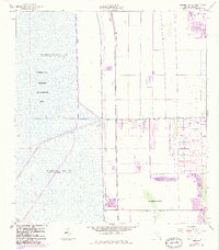
1963 Map of Cooper City SW
USGS Topo · Published 1984About this map
Pembroke Pines and the residential development of Rolling Oak Acres sit at the edge of a highly engineered landscape, where the expansion of Broward County meets the massive water control systems of the Everglades Wildlife Management Area. This survey documents a critical period of transition as suburbia moves westward, bounded by an intricate network of infrastructure including Levee No 68A, Levee No 37, and Levee No 33. The geography is defined by the rigid management of water, featuring Conservation Area No 3A and Conservation Area No 3, where the landscape is designed for periodic impoundment. Vital transit and drainage corridors such as the South New River Canal and Griffin Road anchor the settled portions of the map, illustrating the human effort to reclaim and maintain habitable land in this low-lying region.
Find a feature on this map
14 named features on this map. Tap any name to fly to it.
Don’t see what you’re looking for? This feature index may not catch every label — zoom into the map to look around manually.
Map Details
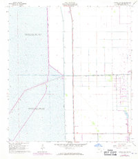
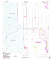
Editions of this 1963 Cooper City SW Map
4 editions found
Other maps of this area

1949 · Opalocka
USGS Topo · 1:24,000

1956 · Miami
USGS Topo · 1:250,000

1956 · West Palm Beach
USGS Topo · 1:250,000

1957 · West Palm Beach
USGS Topo · 1:250,000

1958 · West Palm Beach
USGS Topo · 1:250,000

1958 · Miami
USGS Topo · 1:250,000

1962 · Opa-locka
USGS Topo · 1:24,000

1963 · Andytown
USGS Topo · 1:24,000

1963 · Pennsuco
USGS Topo · 1:24,000

1963 · Cooper City SW
USGS Topo · 1:24,000