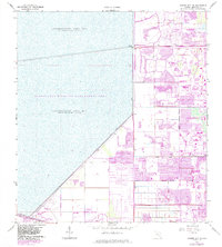
1963 Map of Cooper City NE
USGS Topo · Published 1983About this map
The Everglades Wildlife Management Area and Conservation Area No 2 dominate the western half of this Florida landscape, defined by a massive expanse of water impounded periodically behind a network of engineering works. Levee No 36 and Levee No 35 form a sharp diagonal boundary, separating the wild marshlands from the rapid mid-20th-century suburban expansion of Broward County. To the east, the planned residential grids of Coral Springs, Tamarac, and Sunrise illustrate the transition from undeveloped land to a landscape of winding streets and artificial water bodies. This 1963 survey, updated with 1980s data, captures the moment when the growing communities of Lauderhill and Plantation pushed right against the levee system. Key infrastructure such as Markham Park and the North New River Canal show how the region managed drainage and recreation at the edge of the Everglades.
Find a feature on this map
26 named features on this map. Tap any name to fly to it.
Don’t see what you’re looking for? This feature index may not catch every label — zoom into the map to look around manually.
Map Details
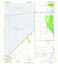
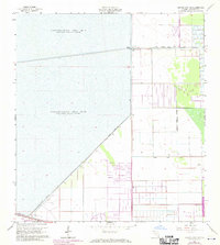
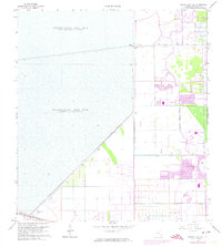
Editions of this 1963 Cooper City NE Map
4 editions found
Other maps of this area

1945 · Fort Lauderdale North
USGS Topo · 1:24,000

1946 · West Dixie Bend
USGS Topo · 1:24,000

1949 · Fort Lauderdale North
USGS Topo · 1:24,000

1949 · West Dixie Bend
USGS Topo · 1:24,000

1949 · Fort Lauderdale South
USGS Topo · 1:24,000

1956 · West Palm Beach
USGS Topo · 1:250,000

1957 · West Palm Beach
USGS Topo · 1:250,000

1958 · West Palm Beach
USGS Topo · 1:250,000
1962 · Fort Lauderdale North
USGS Topo · 1:24,000
1962 · West Dixie Bend
USGS Topo · 1:24,000