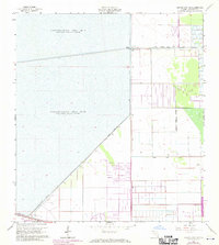
1963 Map of Cooper City NE
USGS Topo · Published 1970About this map
Water management systems and the expanding Lauderhill Corporate Boundary define this landscape on the western edge of Broward County. Large tracts are dedicated to water impoundment, specifically Conservation Area No 2A and Conservation Area No 2B, which are contained by an extensive network of dikes including Levee No 36 and Levee No 35.
Find a feature on this map
13 named features on this map. Tap any name to fly to it.
Don’t see what you’re looking for? This feature index may not catch every label — zoom into the map to look around manually.
Map Details
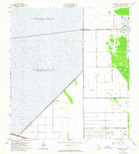
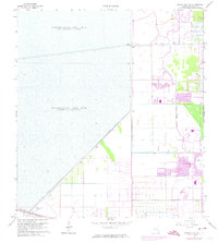
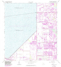
Editions of this 1963 Cooper City NE Map
4 editions found
Other maps of this area

1945 · Fort Lauderdale North
USGS Topo · 1:24,000

1946 · West Dixie Bend
USGS Topo · 1:24,000

1949 · Fort Lauderdale North
USGS Topo · 1:24,000

1949 · West Dixie Bend
USGS Topo · 1:24,000

1949 · Fort Lauderdale South
USGS Topo · 1:24,000

1956 · West Palm Beach
USGS Topo · 1:250,000

1957 · West Palm Beach
USGS Topo · 1:250,000

1958 · West Palm Beach
USGS Topo · 1:250,000
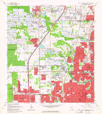
1962 · Fort Lauderdale North
USGS Topo · 1:24,000
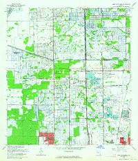
1962 · West Dixie Bend
USGS Topo · 1:24,000