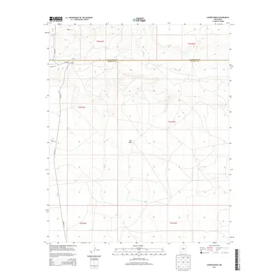
2013 Map of Cooper Ranch
USGS Topo · Published 2013About this map
Cooper Ranch sits at the northern edge of the De Baca County line in this high-plains landscape, where the terrain is defined by the winding course of Salado Cr. This 2013 survey reveals a sparsely settled ranching region where infrastructure is primarily composed of utilitarian county roads like Co Road 1-31 and Salado Rd. The map illustrates the expansive grid of the Public Land Survey System, spanning townships such as t4n r23e and t5n r22e. A single isolated landmark, the Upper Wagon Windmill, serves as a critical water point for livestock in this arid environment. The map captures the quiet persistence of New Mexico ranching life, centered on large land holdings and essential water features rather than town centers.
Find a feature on this map
15 named features on this map. Tap any name to fly to it.
Don’t see what you’re looking for? This feature index may not catch every label — zoom into the map to look around manually.
Map Details
Editions of this 2013 Cooper Ranch Map
This is the sole edition of this map. No revisions or reprints were ever made.
Other maps of this area

1954 · Fort Sumner
USGS Topo · 1:250,000

1958 · Fort Sumner
USGS Topo · 1:250,000

1966 · Gibbons Ranch
USGS Topo · 1:24,000

1966 · Ricardo
USGS Topo · 1:24,000

1966 · Ojo Negro Creek
USGS Topo · 1:24,000

1966 · Alamogordo Dam
USGS Topo · 1:24,000

1966 · Borica SW
USGS Topo · 1:24,000

1966 · Cooper Ranch
USGS Topo · 1:24,000

1966 · Yeso
USGS Topo · 1:24,000

1966 · Yeso NW
USGS Topo · 1:24,000