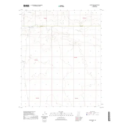
2020 Map of Cooper Ranch
USGS Topo · Published 2020About this map
Cooper Ranch serves as the primary landmark in this section of the High Plains, situated just south of the boundary between Guadalupe Co and De Baca Co. The landscape is defined by the intermittent drainage of Salado Cr, which carves a path through the arid terrain of east-central New Mexico. This 2020 survey illustrates a sparse settlement pattern dominated by large land holdings and a network of rural routes, including Salado Rd and Shady Rock Rd. The map provides a clear look at the Public Land Survey System divisions, with several townships and ranges converging here, reflecting the orderly grid typical of Western land management. Local county roads such as Co Rd 1-31 and Co Rd 3 C H connect the remote ranching properties across this high-desert environment.
Find a feature on this map
14 named features on this map. Tap any name to fly to it.
Don’t see what you’re looking for? This feature index may not catch every label — zoom into the map to look around manually.
Map Details
Editions of this 2020 Cooper Ranch Map
This is the sole edition of this map. No revisions or reprints were ever made.
Other maps of this area

1954 · Fort Sumner
USGS Topo · 1:250,000

1958 · Fort Sumner
USGS Topo · 1:250,000

1966 · Gibbons Ranch
USGS Topo · 1:24,000

1966 · Ricardo
USGS Topo · 1:24,000

1966 · Ojo Negro Creek
USGS Topo · 1:24,000

1966 · Alamogordo Dam
USGS Topo · 1:24,000

1966 · Borica SW
USGS Topo · 1:24,000

1966 · Cooper Ranch
USGS Topo · 1:24,000

1966 · Yeso
USGS Topo · 1:24,000

1966 · Yeso NW
USGS Topo · 1:24,000