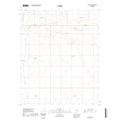
2023 Map of Cooper Ranch
USGS Topo · Published 2023About this map
Lake Sumner and the meandering course of Salado Creek anchor this New Mexico landscape on the border of Guadalupe and De Baca counties. The terrain is defined by the drainage patterns of the creek and its tributaries, which cut through the high plains of the Pecos River valley. A network of rural routes, including Salado Rd, Shady Rock Rd, and Co Rd 1-31, provides the primary infrastructure for the ranching operations that characterize this region. The map reflects a contemporary view of the Pecos valley hinterlands, where the economy remains tied to the water resources of the lake and the seasonal flows of the creek. This survey is a detailed record of the public land survey system divisions and the modern road network serving the isolated ranch lands of eastern New Mexico.
Find a feature on this map
14 named features on this map. Tap any name to fly to it.
Don’t see what you’re looking for? This feature index may not catch every label — zoom into the map to look around manually.
Map Details
Editions of this 2023 Cooper Ranch Map
This is the sole edition of this map. No revisions or reprints were ever made.
Other maps of this area

1954 · Fort Sumner
USGS Topo · 1:250,000

1958 · Fort Sumner
USGS Topo · 1:250,000

1966 · Gibbons Ranch
USGS Topo · 1:24,000

1966 · Ricardo
USGS Topo · 1:24,000

1966 · Ojo Negro Creek
USGS Topo · 1:24,000

1966 · Alamogordo Dam
USGS Topo · 1:24,000

1966 · Borica SW
USGS Topo · 1:24,000

1966 · Cooper Ranch
USGS Topo · 1:24,000

1966 · Yeso
USGS Topo · 1:24,000

1966 · Yeso NW
USGS Topo · 1:24,000