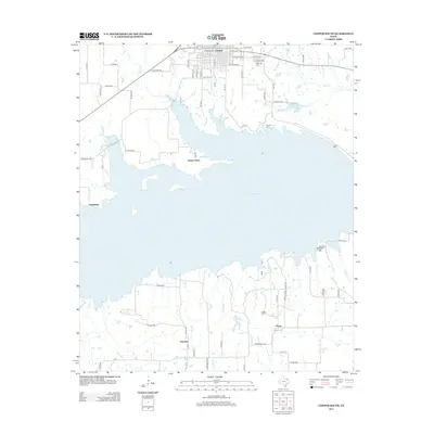
2013 Map of Cooper South
USGS Topo · Published 2013About this map
The town of Cooper serves as the northern anchor for this landscape, characterized by the expansive waters of Cooper Lake and its intricate shoreline. Significant local history and genealogy are preserved in the community's burial grounds, including Oak Lawn Cem near the town center, Dawson Cem further south, and Lindley Cem nestled near the small settlement of Posey. The area is defined by a network of rural roads and watercourses such as Doctors Cr, Big Cr, and the small City Lakes. Scattered rural communities like Liberty Grove, Friendship, and Peerless reflect the traditional agricultural and residential patterns of this part of Delta County. To the southeast, the terrain rises slightly at Harpers Hill, overlooking a series of creek branches like Moore Cr and Buggy Whip Cr that feed into the larger reservoir system.
Find a feature on this map
70 named features on this map. Tap any name to fly to it.
Don’t see what you’re looking for? This feature index may not catch every label — zoom into the map to look around manually.
Map Details
Editions of this 2013 Cooper South Map
This is the sole edition of this map. No revisions or reprints were ever made.
Other maps of this area

1953 · Texarkana
USGS Topo · 1:250,000

1956 · Texarkana
USGS Topo · 1:250,000

1964 · Cumby
USGS Topo · 1:24,000

1964 · Sulphur Springs
USGS Topo · 1:24,000

1964 · Gafford Chapel
USGS Topo · 1:24,000

1964 · Klondike
USGS Topo · 1:24,000

1964 · Charleston
USGS Topo · 1:24,000

1964 · Tira
USGS Topo · 1:24,000

1964 · Cooper North
USGS Topo · 1:24,000

1964 · Pecan Gap
USGS Topo · 1:24,000