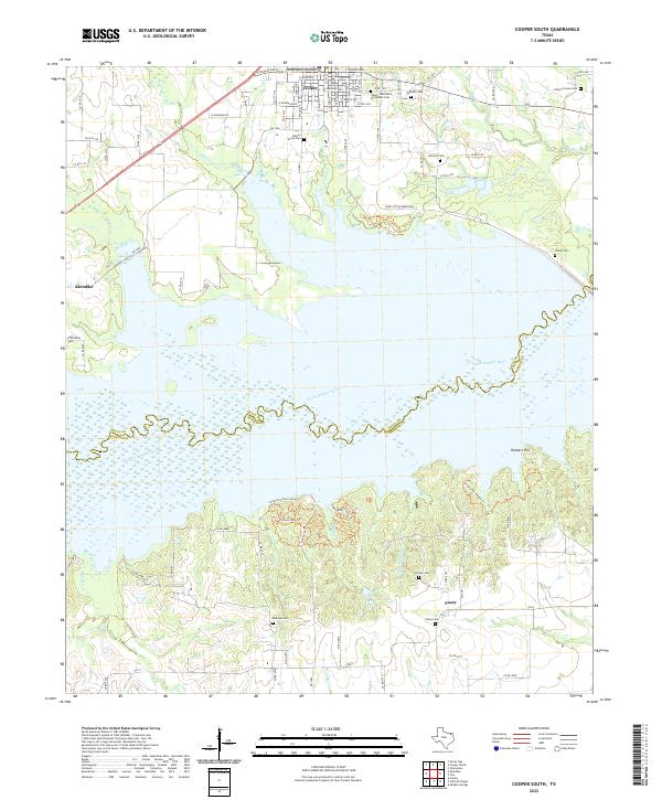
2022 Map of Cooper South
USGS Topo · Published 2022About this map
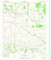
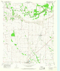
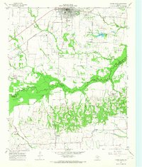
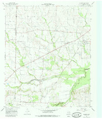
Cooper serves as the focal point of this Delta County landscape, anchored by the Delta County Courthouse and its grid of residential streets like E Sherman Ave and E Terrell Ave. The geography is defined by the expansive waters south of town where Doctors Cr and Cannon Cr feed into the reservoir system north of the South Sulphur River. This boundary between Delta and Hopkins counties features a mix of rural cemeteries and modern recreation, from the Yates - Methodist Protestant Cem near the town center to the network of trails such as Lonesome Dove Loop Trl and Coyote Run Hiking Trl that wind through the southern hills.
Find a feature on this map
73 named features on this map. Tap any name to fly to it.
Don’t see what you’re looking for? This feature index may not catch every label — zoom into the map to look around manually.
Map Details
Editions of this 2022 Cooper South Map
This is the sole edition of this map. No revisions or reprints were ever made.
Historical Maps of Friendship Through Time
8 maps found